With respect to Elders past and present we acknowledge that we walk on Jaara Jaara Country
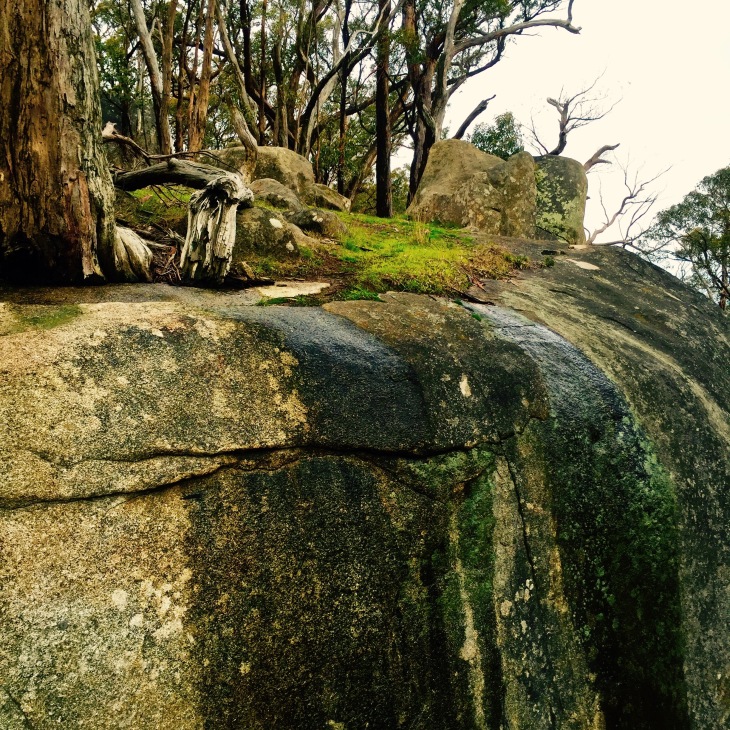 Only a 1.5 hours drive from Melbourne – Walking Lanjanuc (Mount Alexander) has been a highlight of our winter. In Dja Dja Wurrung Language the mountain is Lanjanuc named by the Jaara Jaara people. Lanjanuc has many recreational walking tracks, ranging in degree of difficulty from easy to challenging. It took us 3 hours to walk the track from Leanganook Picnic Ground to Harcourt-Sutton Grange Road, and the walk was not as steep as we expected but the path is rocky. There are spectacular views along the trail, but the highlight for us by far was ‘Dogs Rocks’.
 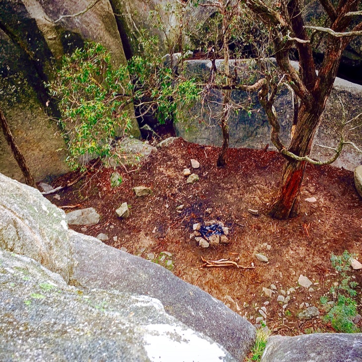 Early Europeans named the area in homage to the dingoes that used it as their lair.
  Lanjanuc is sacred ceremonial ground, which is food for thought and feeling when walking the trail. We certainly felt a sense of spirit in the ancient granite rocks. Some history of the Jaara Jaara people can be found here. An interview with a Jaara Elder can be found here.
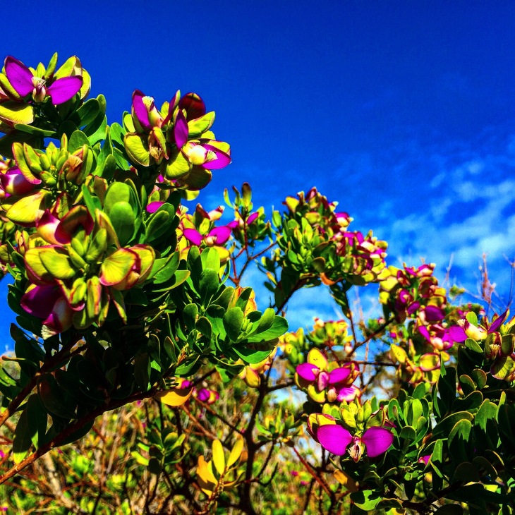
 Ballantine antipoda (southern shepherd’s purse), is a unique tiny plant that grows in patches of moss and decorates the rocks of Lanjanuc. It is only found in this part of Victoria.
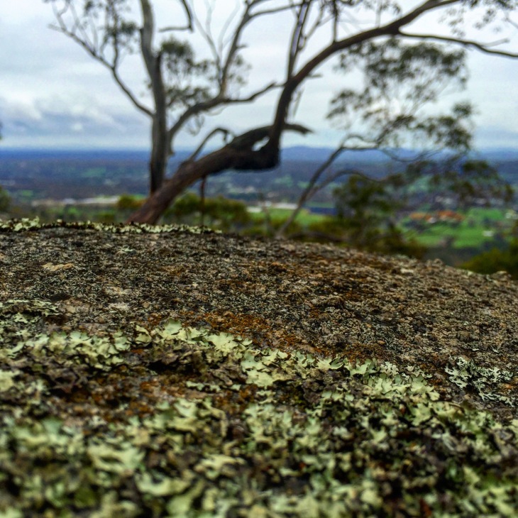 Walking in winter is invigorating and certainly helps to beat off any seasonal blues, but it is chilly! If you head out this way we recommend wearing layers; pack your gloves, wooly hats, and a thermos of soup!
 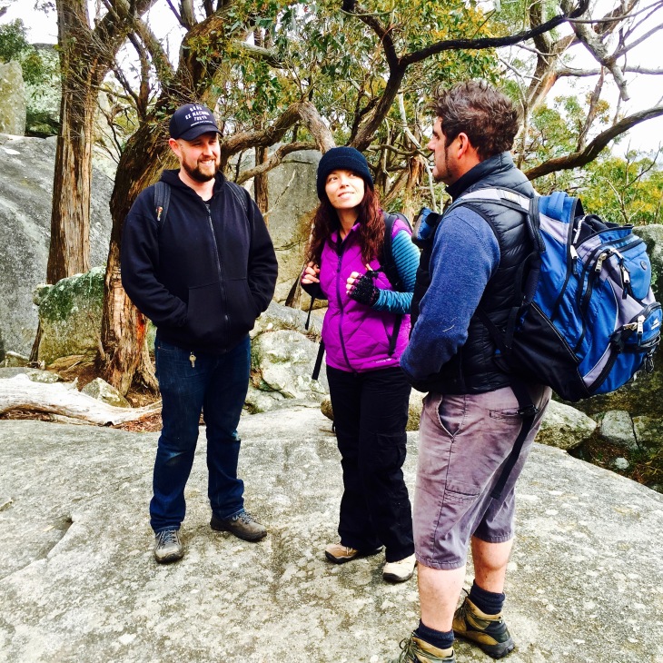 We made a one way walk of it by having our friends park their car at Harcourt-Sutton Grange Road; we then car pooled back to Leanganook Picnic Ground along Joseph Young Drive. The map below is available from the Castlemaine Visitor Centre – 44 Mostyn St. We always recommend a visit to the local information centre before any walk – It’s a great way to check on the conditions of tracks and call on local knowledge for other adventures. For more information from Parks Vic press here.
 For intrepid adventurers wanting a longer trail, it is possible to bike ride or walk the Goldfields Track (formally known as The Great Diving Trail) from Ballarat to Bendigo. Mount Alexander is part of the Leanganook leg of the trail. The Leanganook track stretches 60kms from Castlemaine to Bendigo. Find more information on the Goldfields Track here.
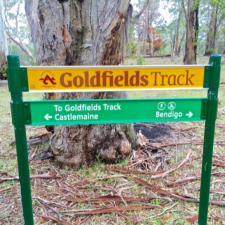 After the Leanganook track passes over Joseph Young Drive, be sure to check out the views at Langs Lookout. On the way down, watch out for big Leaping creatures on the path.
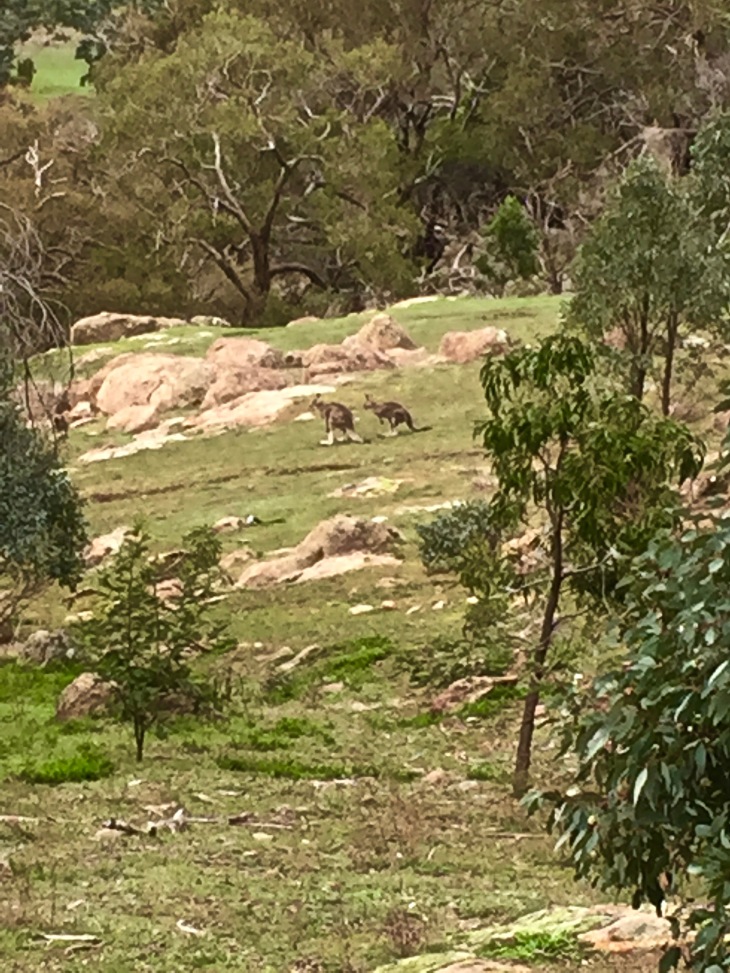 For those interested in a shorter walk or picnic outing with the kids, try the loop walk from Leanganook Picnic Ground which includes veiws from the South Lookout. We suggest diverging from the loop to include Dogs Rocks on the walking menu, or driving down the road after the loop and parking to picnic at the rocks.
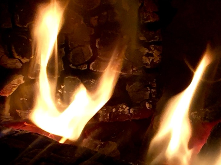
 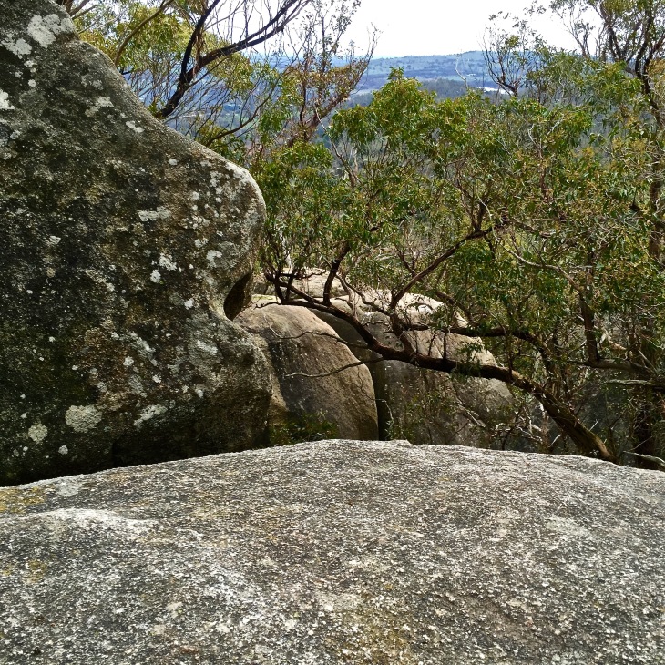 To get to Lanjanuc from Melbourne, take the Calder Freeway towards Caslemaine. For a yummy breakkie and a decent coffee by an open fire, try Toggs Place Cafe on Lyttleton Street, Castlemaine. Happy Adventuring!


")
")
")
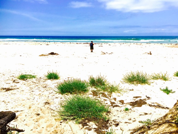
 If time permits head back to Beech-Forest-Mount Sabine Rd and continue south to hit the Great Ocean Road.(it takes about 3.5 hours to get back to Melbourne this way). Enjoy the magnificent views as you wind along the road. Maybe even book ahead and find somewhere great to stay on this awesome Ocean Road. Or at least stop for a great dinner at the Wye River Hotel
 I Hour Drive from Melbourne’s CBD Find the Dandenong Ranges. A great walk starts deep in the Ranges at


")